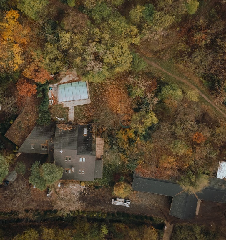
Aerial Surveying
Experience the ultimate in aerial surveying with our Aerokrat Globale.


We provide luxury flight chartering with drones and helicopters, offering exceptional aerial surveying services. Our skilled pilots and advanced technology guarantee precise and superior outcomes, allowing you to enjoy the excitement of luxury flight while capturing detailed aerial data
Our company offers an aerial surveying service using either drones or helicopters. With our advanced technology and skilled operators, we are able to provide accurate and detailed surveys from the air. Whether it's inspecting construction sites, mapping land, or capturing images for various purposes, our flexible approach allows us to choose the most suitable method for each project. Drones are perfect for smaller areas or locations that are difficult to access, providing high-resolution imagery and precise measurements. On the other hand, helicopters offer a larger coverage area and the ability to carry more sophisticated equipment for more complex surveys. We prioritize safety and efficiency in all our operations, ensuring that our clients receive the best results for their surveying needs.


Our Services
Aerial Photography


Topographic Mapping
Infrastructure Inspection


Residential Survey
Capturing stunning aerial images and videos for residential properties
Commercial Survey
Providing accurate and detailed aerial data for commercial properties


Environmental Survey
Assisting in environmental research and monitoring through aerial surveying
Delivering precise topographic maps for landscape planning and design
Infrastructure Survey
Our Location
Hours
Mon-Fri 9am-5pm
AEROKRAT GLOBAL
INDIA
3rd Floor Mall of Travancore, Opposite Thiruvananthapuram International Airport, Kerala, India 695024
